Pricing
TerraFly offers intelligent, web based solutions by combining a robust visualization component, that has a wide range of imagery and maps, with a high-performance data drilling and querying component that uses high-performance multi-dimensional mechanisms and pseudo-fuzzy logic amongst other features. These solutions deliver easy to use insight to materialize and capitalize on opportunities that would go unseen without the visualization of big data and the understanding of subjects and locations.
Our prices are very flexible because we want to work with you and your organization or business to create focused solutions to meet your needs and get you to your goals. To do that, our solutions can be customized all the way from base-maps, imagery, tools and datasets down to look and feel. We can create for you a basic map solution or an enterprise geospatial information systems application with multiple analysis models and features.
FREE DEMOS - Virtual or on-site (client's location or at Florida International University)
FREE TRIALS - For qualified customers
Please complete the form below for our representatives to get in touch with you.
Demos
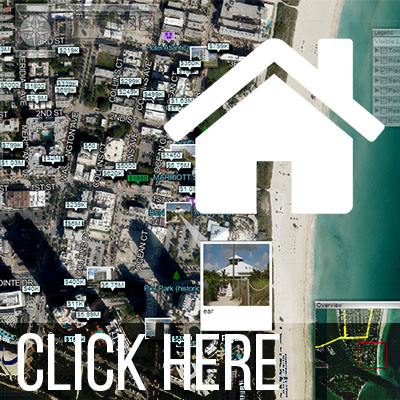
Real Estate MLS
Demonstration of our Real Estate MLS Application used by the MIAMI association of Realtors.
ALTA Balloons
Oblique, super resolution, low-altitude imagery from proprietary partner, ALTA, an autonomous, lighter-than-air image/sensing platform.

Time Series
Time Series, a tool that enhances TerraFly maps by showing archived satellite or aerial imagery of a selected area.

Auto-Pilot
Virtual flight over high quality maps of an area enriched with multimedia content. This flight is over Oleta River Park.

Hydrology
Demonstration of TerraFly being used in Hydrology to study average mean daily stages for bodies of water in South Florida

Moving Objects
Monitoring ship movements and trajectories through time off the coast of Florida and China.

Analysis Models
Real estate values in South Florida using TerraFly's GeoCloud