Visualizing Big Data
Maps have been guiding us for centuries towards expanding our horizons, but recently, more powerful, data driven maps have given us the ability to deeply understand both the known and unknown of this ongoing expansion. These intelligent maps combine the powers of Big Data with cutting-edge, interactive maps to drive new levels of insight that industries can apply to save money, save time and save our planet.
TerraFly is an innovative technology and tool for fusing, visualizing and querying geospatial Big Data into powerful intelligent map solutions for use by industry professionals and decision makers. These powerful solutions allows for materializing and capitalizing on market opportunities that otherwise would go unseen without the visualization of Big Data - subjects and locations.
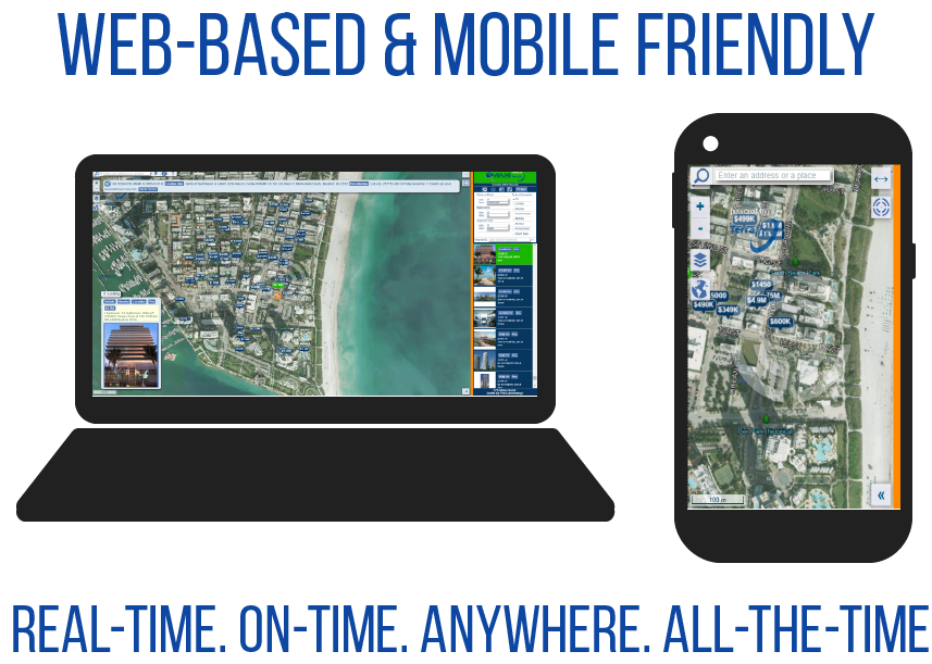
TerraFly creates these intelligent solutions by combining a visualization component of aerial, satellite, oblique and street level imagery with the analytical power of a drill-down/query engine that uses high-performance multi-dimensional search mechanisms and pseudo-fuzzy logic. TerraFly offers this insight through a cloud-based platform, for easy access over the internet, with mobile interfaces for extra access to on-the-go business intelligence.
What DISTINGUISHES TerraFly?
TerraFly incorporates the recent exponential improvements in computing power, network bandwidth and storage density combined with ever more powerful sensing and measurement technologies to provide new and powerful ways to gain insight into the world. This insight is in the shape of solutions containing dynamic interactions with maps and versatile data analysis tools that can be incorporated into any website. TerraFly’s technological capability includes high performance spatial structures, quad-trees, hash tables and in-memory fast response for critical queries amongst others.
- 1-meter aerial photography of almost entire USA & Canada
- 3-inch to 1-foot full-color recent archival imagery of major urban areas
- 0.25 super-resolution oblique imagery of some areas
- Over 1 billion geolocated objects
- Over 100 billion data fields
- Close to 1 billion polylines and polygons
- 110 million US property parcels,
- 20 million businesses,
- Almost all US persons,
- Extensive global environmental data & Hundreds of other datasets
Reliable and Exceptional:
The TerraFly project has been featured on TV news programs (including FOX TV News), worldwide press, covered by the New York Times, USA Today, NPR, and Science and Nature journals. The project's primary sponsor is the National Science Foundation (NSF). Of the 53,000 NSF-funded projects in 2009, it chose 120, including TerraFly, for the NSF annual report to Congress.
TerraFly is an off-shoot of a $55 million Government funded research & development (NSF University-Industry Cooperative Initiative with Florida International University, FIU). Dr. Naphtali Rishe, the founder and inventor of TerraFly, is the President of NOA, Inc. |DBA| TerraFly, Inc. The commercial entity is also funded by NSF.
TerraFly was selected as one of the three projects, out of 53,000 to appear on the cover page of NSF 2014 Compendium and presented to the Congress. Contact us for more information.